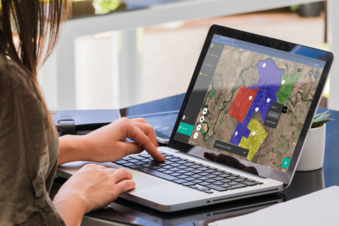
MLOps platform for geospatial data analytics
Training, deploying, and managing geospatial models faster than ever before


Picterra has turned a complex, inefficient, and expensive workflow that used to involve multiple vendors and technologies into an all-in-one platform for geospatial analytics that requires no coding skills
Sector
Dev Tools
Founded
2016
First Invested
2022
Headquarters/Location
Lausanne
Website
https://picterra.ch/Follow
The space industry has changed tremendously since the launch of Sputnik 1. Thanks to high levels of private funding and advances in technology, satellite launch costs have come down by orders of magnitude, and geospatial data is becoming ever more abundant. This is opening up exciting new commercial opportunities and fueling demand across industries for intelligence derived from geospatial data.
Yet, turning geospatial data into actionable insights is complex, time-consuming and expensive – especially for enterprises that do not have the required in-house machine learning capabilities. Picterra provides a solution for just that: a platform that allows enterprises to train machine learning models to analyze geospatial data for their own specific use case – without the need to build up ML expertise in-house.
